

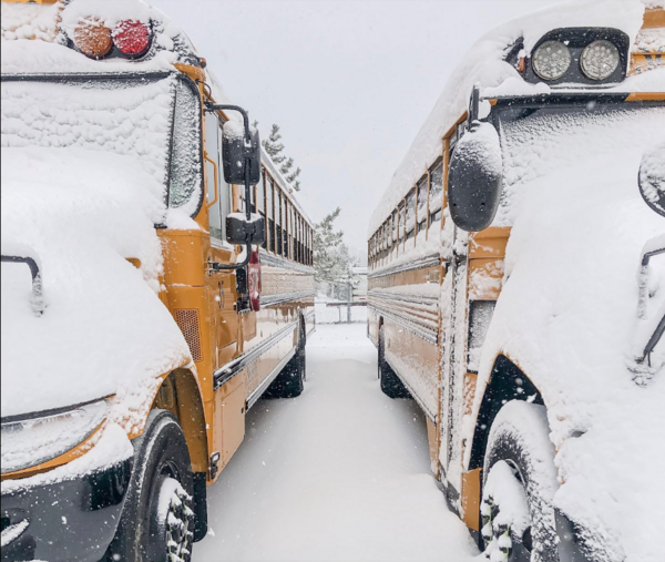
Frigid Temperatures & Wind Chill Prompt School Closings
January 17, 2024
Jessica Mathews/ news@whmi.com
Frigid temperatures are again in the forecast – marking a snow day or a "cold day" for students across Livingston County and surrounding areas.
A wind chill advisory is in effect for the WHMI listening area and the southeast Michigan region until noon today. The National Weather Service advises very cold wind chills of 15 to 20 degrees below zero are expected. The NWS says cold wind chills could cause frostbite on exposed skin in as little as 30 minutes.
Pinckney Community Schools Superintendent Rick Todd explained the criteria for calling a “cold day”. He told WHMI that when looking at closings due to the cold, it comes down to safety and what’s in the best interests of students and staff. Todd said they take the wind chill into consideration - noting the threshold decided upon collaboratively in Livingston County is 20-below zero. He stressed that every decision they make impacting classes “starts and ends with student safety and everyone in their school community”.
Todd said when making closing decisions, they work collaboratively with other superintendents in the county and Livingston ESA based on various data and information. However, he said calling a “cold day” is a little different than calling a snow day because the temperature and especially the wind speed can be variable, and it’s not constant from moment to moment or location to location. Todd said they ultimately make the best decision they can, which again comes down to safety – adding with how quickly frostbite can set in at these temperatures they always want to err on the side of caution.
Todd further elaborated in a post on social media on Monday about criteria:
“Hello Pirates and Happy Lions Victory Monday!! I hope your kiddos are enjoying their day at home after many stayed up late to watch one of the best Lions victories most of us have experienced in our lifetime! Although our staff came in today a little tired, they have been working hard throughout the day as they are engaged in a variety of professional development learning sessions that involve curriculum work, alignment and instruction. As I go throughout the district today, I am being asked about the criteria for calling a "cold day", which is something thankfully does not happen all too often and thought it would be beneficial to share with our entire school community. As we do with snow days, the Livingston County Superintendents work collaboratively when making these types of decisions, which for a "cold day", requires a benchmark of a sustained "feel like" temperature (including the windchill) of -20 degrees or colder. The tricky part in making a decision like this is achieving the "sustained" temperature as the wind is often not constant and can vary significantly from location to location. In an attempt to obtain the most consistent data, we will contact the Howell Airport as they have the most advanced weather system in the county.
Using the windchill calculator at https://www.weather.gov/epz/wxcalc_windchill, it will take a sustained wind of 45 mph, along with the expected temperature of 7 degrees at 6 a.m. tomorrow to achieve the -20 degree threshold. Obviously, this is all dependent on the combination of temperature & wind and generally, we don't get too concerned until the temperature drops to -5 or below as the sustained wind needed is much less to reach -20. I share this not as a means to predict what will or will not happen, but rather as an opportunity to educate and clarify the process. Regardless, this will be the coldest week of the season thus far and we need to make sure our students are prepared with the proper attire to stay safe. Enjoy the rest of your day and we are excited to kick-off the 2nd semester tomorrow as we embark on warmer days ahead!”
A link to the school closing list for Wednesday, January 17th is provided.
Facebook photo.