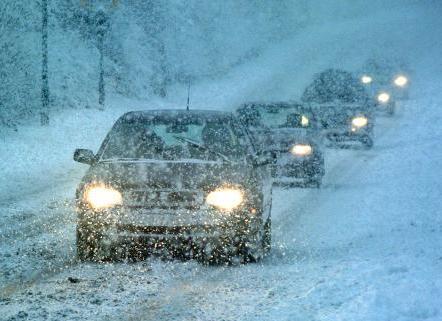
National Weather Service Predicts Snowy Michigan Winter
October 20, 2017

Gone are the warm winters of the past for Livingston County residents.
The National Weather Service has issued its annual winter outlook and it’s not as rosy as the past two years according to Warning Coordination Meteorologist Rich Pollman with the Detroit/Pontiac Office. He says we’ll be getting back to more typical Michigan winters with typical cold temperatures and snowfall, noting the last two were warm and didn’t have a lot of snow. Pollman says the winter forecast will be strongly influenced by a strengthening La Nina circulation in the Pacific Ocean, which is basically colder than average water temperatures in the pacific off the coast of South America.
Pollman says the safest bet for this year’s outlook is that it will be colder and snowier than in the last two winters –which were among the top ten warmest winters. Specifically, he says last year was about the 8th warmest and the year before was the 6th warmest winter in the record books. Pollman tells WHMI there will be a better than average chance for precipitation though, which includes regular rain, freezing rain, sleet and snow. Pollman says the region will probably see more rain than average and likely, above average snowfall but it all depends on how storms move up into the Ohio Valley and Great Lakes and how much warm air they bring to determine how much snowfall. He says the combination of typical temperatures and Michigan being in the storm track will lead to a good chance of above average snowfall.
Meanwhile, the Old Farmer’s Almanac is calling for a wet and snowy winter all-around, saying precipitation will be at above-normal levels throughout the country. It states overall, the long-range winter forecast for 2017–2018 shows generally colder temperatures than last winter for the U.S. and Canada but not colder than a typical winter, based on historical averages. (JM)

